Background

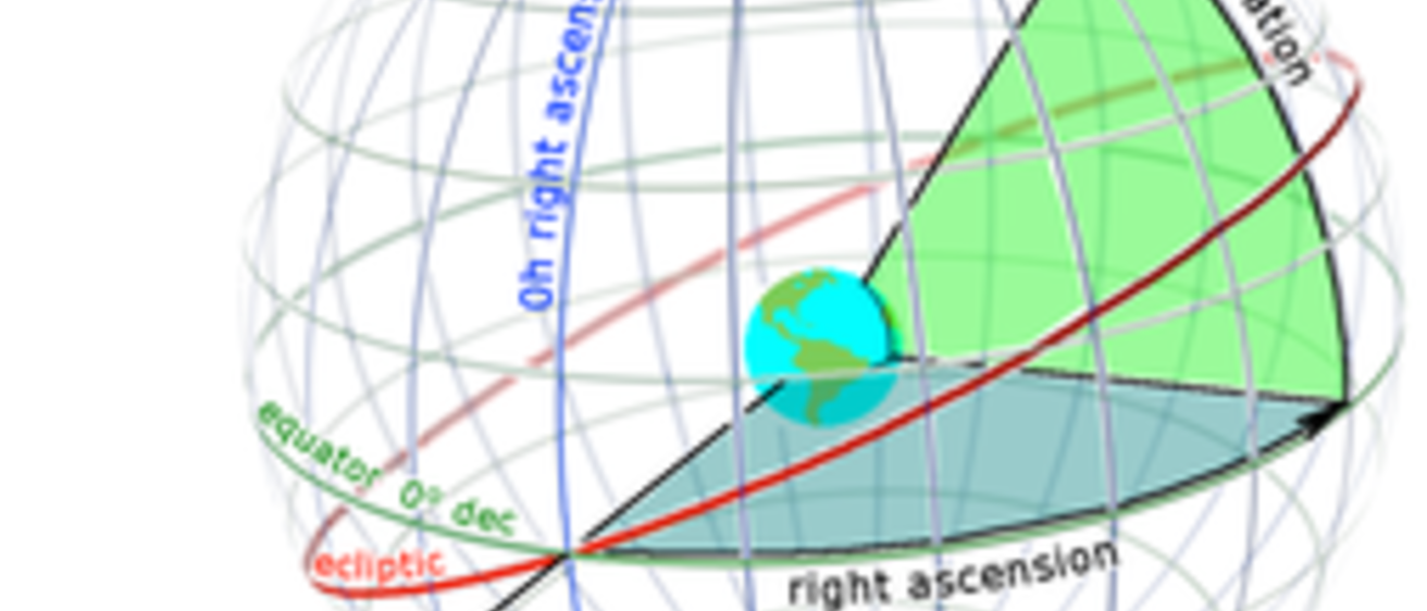
The SC001 (shorthand: SC1) chart is a flat, long strip of paper that resembles maps of the world. Instead of the surface of the Earth, however, the SC001 shows the celestial sphere. The two coordinates on the SC1 are the celestial coordinates of Right Ascension (RA) and Declination (Dec). The SC1 chat is useful for showing the coordinates and names of a large number of stars. It can be used by itself in learning the constellations, although it is not quite as convenient as the star wheel.

The SC1 chart only goes up to a Dec of 60 degrees, and down to a Dec of -60 degrees. The part of the sky north of declination 60 degrees up to the North Celestial Pole (NCP) is mapped in SC002 charts, while south of Dec -60 degrees is displayed in SC003 charts.

Using the SC1 Charts

The SC1 chart can be used to tell which stars are up at any time of the day or night, although it is not as easy as with the star wheel. Calendar dates are printed along the bottom edge of the chart, just below the numbers of the Right Ascension in hours. That hour of RA will cross the meridian at 8pm standard time on that date, and a ruler placed vertically at the point with the calendar date shows what constellations are along that line of RA that will be on the meridian at 8 pm standard time on that date. The location of the meridian at later times on that date can be found simply by moving the ruler 1 hour of Right Ascension to the left for each hour of time.

The heavy double line running horizontally through the middle of the chart shows the Celestial Equator. This is the line that defines a value of 0deg for the Declination. The curved line that looks like a sine function from trigonometry represents the ecliptic, which is an extremely important imaginary line in astronomy. This is the path along which the Sun, Moon, and planets move.

The dates along the ecliptic show you the location of the Sun on that date. From this chart, you can see that the Sun reaches its highest declination on about June 21.

Other Important Notes on Using the SC1 Charts

• Every tick mark on the x axis (RA) is equal to 5 minutes.

• West is the right side of the paper and East is the left.

• It is important to consider what declinations are not observable for your latitude. For example, in Hawaii at lat = 23.5 degrees, stars with declinations below -66.5 degrees are never observable.

• Since the Earth is in half darkness and half light at any point of the day and there are 24h of RA, half of the sky (and stars) are visible at any given time. Thus, you can see 12h of RA at any given time of day.

• The meridian divides East and West equally, so you can determine which stars are on the horizon be either subtracting 6h or adding 6h of RA for the western or eastern horizon, respectively.

• Stars move east to west during an evening. A star one hour west of the meridian at midnight, should have crossed the meridian one hour before, at 11 pm.

Magnitudes of Stars

Brightness of stars are described by magnitudes. The smaller the number, the brighter the star. The SC1 shows the magnitudes of stars by the size of the dot representing the star. The correspondence between the magnitude of a star and the size of its plotted symbol is shown in the scale on the lower right edge of the chart. Note that the brightest stars like Sirius and Betelgeuse have magnitude around 0, while the faintest ones visible to the eye have magnitudes of about 5-6. The stars in the Big Dipper are second magnitude, meaning magnitudes between 1 and 2.